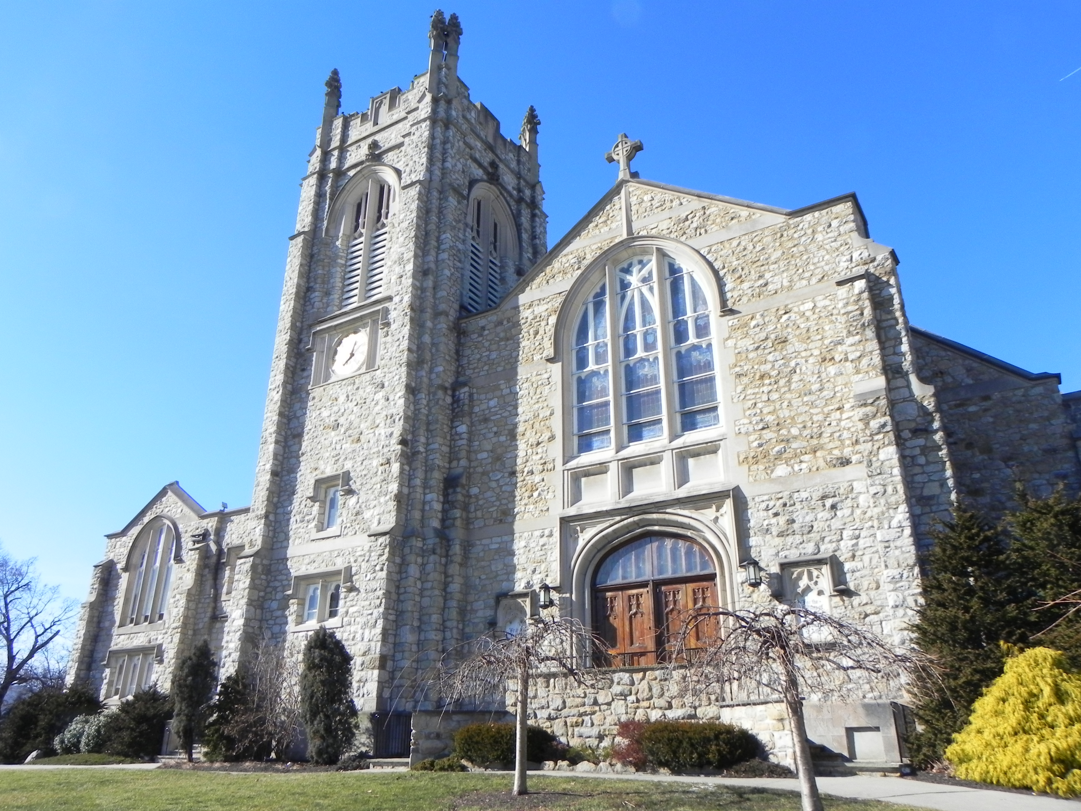
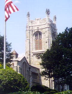
| The
First United Church of Westfield is located at 1 East Broad
Street, Westfield, NJ. Parking lot access is from Ferris Place, a
one-way street one block off Broad Street, accessible from Prospect
Street. The map at the right provides a street view of Ferris Place.
For GPS enter: 130
Ferris Place, Westfield NJ-07090.
As you enter the
parking lot, the church entrance is on the left at the far end of the
lot. The sanctuary and office entrance is the set of doors to the
right of the Wesley Hall School for Early Childhood entrance. Please
respect the handicapped and reserved parking spaces. Also,
depending on the time of day, there may be many parent-child pedestrians
in the area, so please be careful. |
|
Westfield is
a town in Union
County, New
Jersey, United States. As of the 2010
United States Census, the town's population was 30,316, reflecting
an increase of 672 (+2.3%) from the 29,644 counted in the2000
Census, which had in turn increased by 774 (+2.7%) from the 28,870 counted
in the 1990
Census. According
to a 2014 nationwide survey, Westfield is considered to be the 30th safest city
to live in the United States.
The
old village area, now the downtown district, was settled in 1720 as part of the Elizabethtown
Tract. Westfield was originally formed as a township on
January 27, 1794, from portions of Elizabeth
Township, while the area was still part of Essex
County, and was incorporated on February 21, 1798, as a one of New Jersey's
initial group of 104 townships by an Act of the New
Jersey Legislature. It became part of the newly formed Union County on March
19, 1857. Portions of the township have been taken to form Rahway
Township (February 27,
1804), Plainfield
Township (April 5, 1847), Cranford
Township (March 14, 1871),
Fanwood Township (March 6, 1878; now known as Scotch
Plains), Mountainside (September
25, 1895) and Hillside (April
3, 1913). The Town of Westfield was incorporated on March 4, 1903, replacing
Westfield Township.
| Westfield,
New Jersey |
| Town |
| Town
of Westfield |

Map of Westfield in Union County. Inset: Location of Union County
highlighted in the State of New Jersey. |

Census Bureau map of Westfield, New Jersey |
| Country |
United
States |
| State |
New
Jersey |
| County |
Union |
| Formed |
January
27, 1794 |
| Incorporated |
February
21, 1798 as township |
| Reincorporated |
March
4, 1903 as town |
| Area |
| Total |
6.743 sq mi
(17.463 km2) |
| Land |
6.719 sq mi
(17.401 km2) |
| Water |
0.024 sq mi
(0.062 km2)
0.36% |
| Area
rank |
245th
of 566 in state
5th of 21 in county |
| Elevation |
118 ft
(36 m) |
| Population (2010
Census) |
| Total |
30,316 |
| Estimate (2012 |
30,639 |
| Rank |
74th
of 566 in state
5th of 21 in county[13] |
| Density |
4,512.2/sq mi
(1,742.2/km2) |
| Density rank |
127th
of 566 in state
12th of 21 in county |
Downtown
Westfield's
downtown features many local and national stores, such as Lord
& Taylor and several
landmarks that were shown and used in the NBC network television show Ed such
as the Rialto Theater. There are over 40 restaurants and casual dining
establishments throughout the downtown. Downtown is located mostly north of the Westfield train
station. The downtown area has a mix of independent stores and boutiques as well
as national stores. Over one-third of the retailers and restaurants have existed
for 25 years or more.
Downtown
Westfield, with over 200 retail establishments and 400 commercial enterprises,
is a regional destination in New Jersey. The Downtown Westfield Corporation (DWC)
manages the Special Improvement District (SID) area's growth and enhancement.
The DWC is participates in the National Main Street program associated with the National
Trust for Historic Preservation. It is funded by a SID assessment on
downtown properties and operates as the district's management agency. The DWC
sponsors marketing efforts and promotions, special event planning, urban design
and building improvement projects. The DWC works closely with the town
government and volunteer groups to improve the downtown area. In 2004, Westfield
won the Great American Main Street Award from the National Trust. In 2010,
Westfield was the winner of the America in Bloom contest for communities with a
population of 25,001 - 50,000 against the other two towns entered in their
category.
Shopping and dining in Westfield also attracts citizens from
other communities across the State of New Jersey.
Several
war memorials (including ones dedicated to the Korean War, World War II, and the
SpanishAmerican War) are located in a plaza near the downtown. The plaza is
also home to the September
11 Memorial Park, which pays special tribute to the residents of Westfield
who died on September 11, 2001
Public
transportation
New
Jersey Transit's Raritan
Valley Line provides rail
service from the Westfield train
station to Newark
Penn Station in Newark with
connecting service to Penn
Station New York. Westfield's position and schedule on the Raritan Valley
line make it highly desirable for commuters, as several times in the morning and
evening rush hours a non-stop service is operated to/from Newark Penn Station.
On these non-stop services, the one-way journey time to/from New York Penn
Station is 50 minutes, or 20 minutes to/from Newark Penn Station. New Jersey
Transit's 113 route
provides bus service to New York City's Port
Authority Bus Terminal seven
days per week from the town center, taking approximately one hour to NYC, with
additional service available along Route
22 on the northern edge of
the town (New Jersey Transit bus routes 114 & 117),
taking approximately 45 minutes, and the 59 route
provides local bus service between Plainfield and
Newark. Olympia
Trails also offers weekday
bus service to New York City.
Newark
Liberty International Airport is
approximately 20 minutes away, most conveniently reached via Route 22, and Linden
Airport, a general
aviation facility is in
nearby Linden,
New Jersey. Newark Liberty International Airport is also easily accessible
via New Jersey Transit train.
|